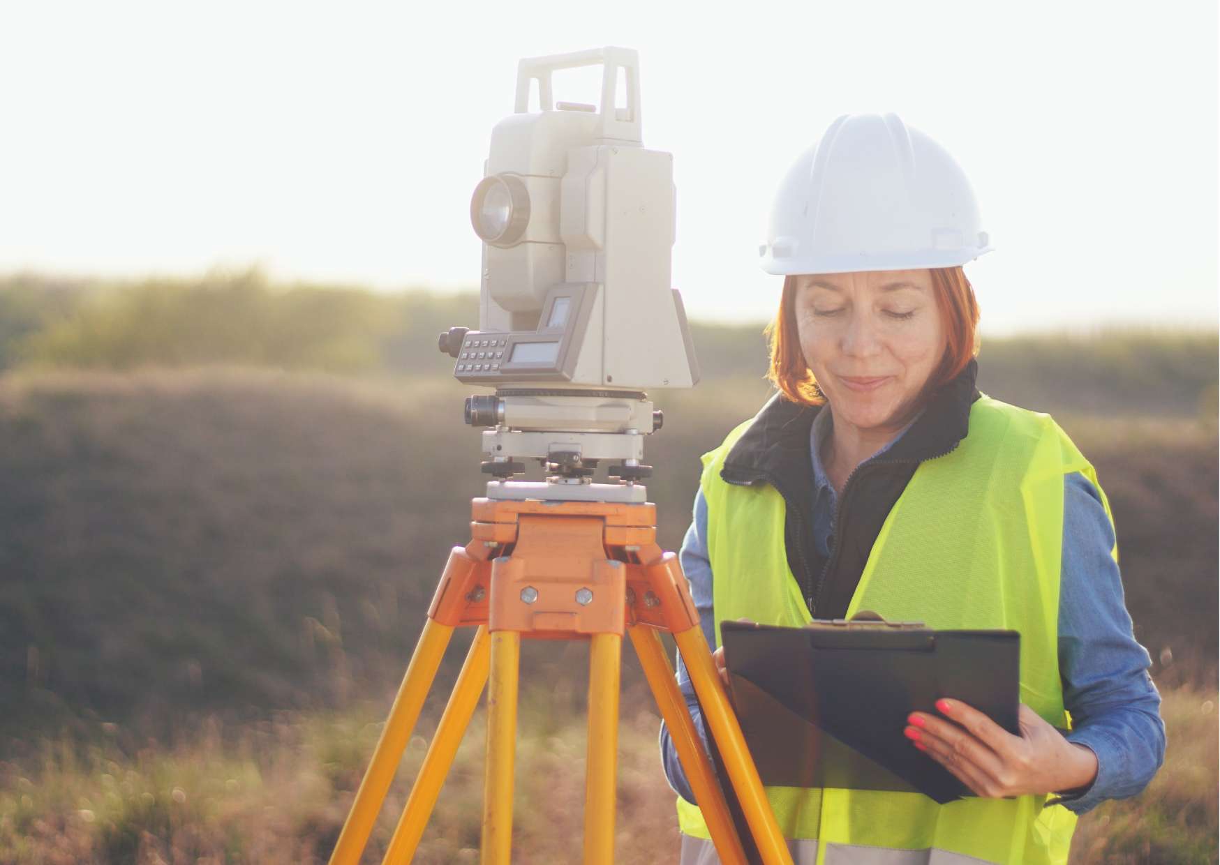
Online Training in Land Surveying
Course Description
Online Training in Land Surveying: Mastering the Art and Science of Land Measurement
Welcome to Online Training in Land Surveying, your gateway to mastering the essential skills and knowledge required for a successful career in land surveying. Whether you’re a budding surveyor, a seasoned professional, or someone interested in the field of geospatial sciences, this course offers comprehensive training to help you navigate the complex world of land measurement and mapping.
Essentials of Course: Online Training in Land Surveying covers essential topics in land surveying, including principles of surveying, measurement techniques, land surveying instruments, cadastral surveying, topographic mapping, legal aspects of land surveying, and geographic information systems (GIS). Participants will learn how to accurately measure and record land boundaries, create detailed maps and plans, and interpret survey data for various applications. With a focus on practical skills and real-world scenarios, this course prepares individuals to perform professional land surveying duties with precision and accuracy.
Why Course Matters: Land surveying is essential for land development, construction, infrastructure planning, environmental management, and resource allocation. The Online Training in Land Surveying matters because it addresses the growing demand for skilled surveyors who can accurately measure and map land parcels, resolve boundary disputes, and provide valuable spatial data for decision-making purposes. By investing in land surveying education, participants can pursue rewarding careers in a variety of industries and contribute to sustainable land management and development practices.
What You’ll Learn: Throughout Online Training in Land Surveying, participants will learn a variety of topics essential for land surveying practice, including:
- Understanding the principles and methods of land surveying
- Using surveying instruments and equipment, such as total stations, GPS receivers, and laser scanners
- Conducting boundary surveys, including legal descriptions and property boundaries
- Creating topographic maps and digital terrain models (DTMs)
- Applying GIS technology for spatial analysis and data visualization
- Interpreting survey data and preparing survey reports and maps
- Understanding legal and ethical considerations in land surveying practice
- Applying surveying techniques to real-world projects and scenarios
Who Should Take This Course: Online Training in Land Surveying is suitable for a wide range of individuals interested in pursuing a career in land surveying or enhancing their skills in geospatial sciences, including:
- Aspiring land surveyors seeking formal education and training
- Civil engineers, architects, and urban planners involved in land development projects
- Environmental scientists and natural resource managers
- GIS professionals and technicians
- Construction professionals and site managers
- Anyone interested in spatial data collection, analysis, and visualization
Course Format: Our user-friendly online format allows participants to access course materials at their convenience, from anywhere with an internet connection. The course is structured into modules, each covering specific aspects of land surveying practice. Participants will engage with video lectures, interactive quizzes, case studies, and practical exercises to reinforce their learning. Additionally, experienced surveying professionals will be available to provide guidance and support throughout the course.
Benefits of Taking This Course: By enrolling in Online Training in Land Surveying, participants can expect to gain the following benefits:
- Enhanced knowledge and skills in land surveying principles and techniques
- Confidence in performing accurate and reliable land surveys for various applications
- Increased job opportunities and career advancement in the field of land surveying and geospatial sciences
- Fulfillment from contributing to land management, development, and conservation efforts
- Access to resources and tools for ongoing professional development and continuing education in land surveying
- Recognition and validation of competency through formal certification
Enroll Today: Don’t miss this opportunity to embark on a rewarding career in land surveying or enhance your skills in geospatial sciences. Enroll in Online Training in Land Surveying today and take the first step towards mastering the art and science of land measurement. Whether you’re passionate about precision measurement, geographic information systems, or environmental stewardship, this course offers invaluable training to help you achieve your goals in the field of land surveying. Join us in shaping the future of land management and spatial data science. Enroll now and start your journey towards becoming a skilled and knowledgeable land surveyor today!
Course Review
Only logged in customers who have purchased this product may leave a review.


Reviews
There are no reviews yet.